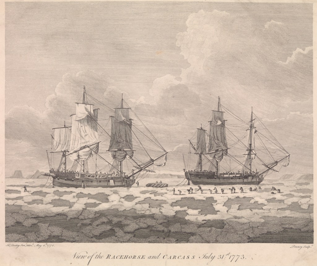
On June 4th, 1773, HM Ships, Racehorse and Carcass set off from the Royal Navy’s Nore anchorage, in the Thames Estuary. While observers on nearby ships might have quipped about the unusual names of these vessels, what was most incredible was the mission the crews were being sent on: Commander Constantine John Phipps (the future Baron Mulgrave) was ordered to “proceed up to the North Pole, or as far towards it as possible…”1 In the words of crew member Olaudah Equiano, a self-emancipated former African slave: “I was roused by the sound of fame, to seek new adventures, and to find, towards the North Pole, what our Creator never intended we should, a passage to India.”2 The Phipps Expedition members would indeed have many Arctic adventures, and these were especially remarkable because – in spite of what sounds like an insane plan – the crews made it home!3
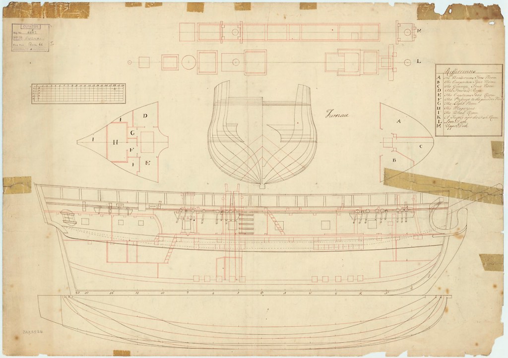
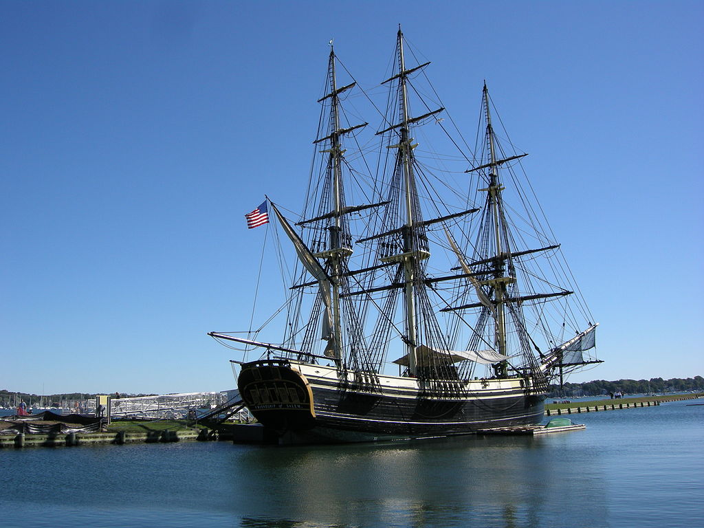
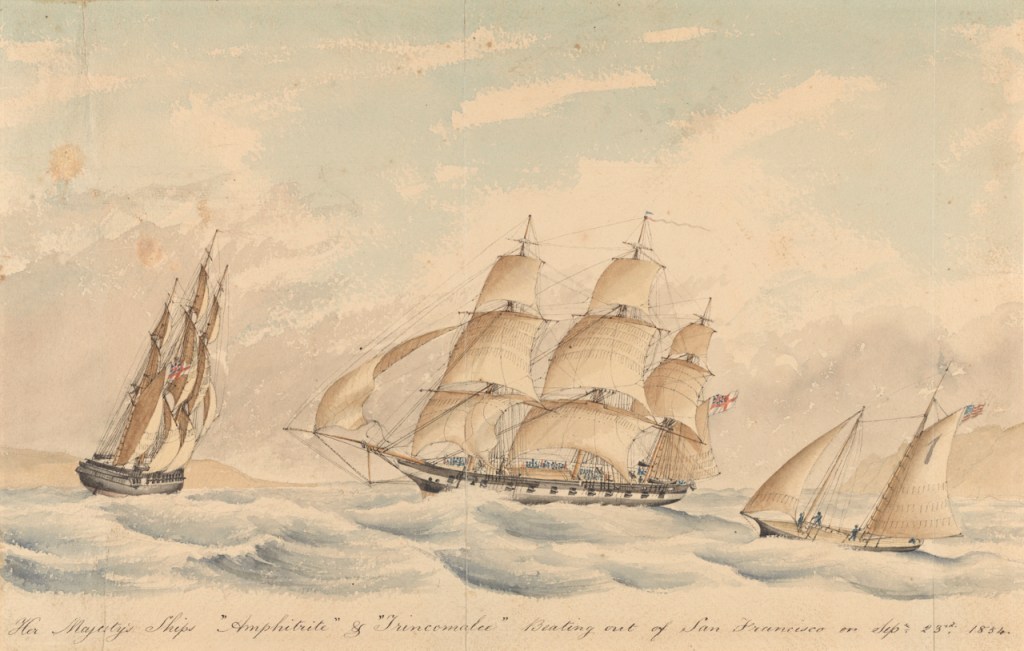
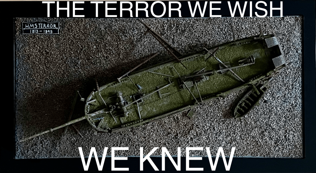
This post will continue our series exploring the design and service of the Royal Navy’s polar-modified bomb vessels. For a description of their general design and an account of how they wound up serving as polar exploration ships, starting with HMS Furnace’s 1741 conversion, see our recent post. The Phipps Expedition is mostly mentioned today because of the presence onboard the junior ship, Carcass, of a young midshipman fated for great things: Horatio Nelson.4 This incredible Arctic journey has several interesting connections to the disastrous events of the 1845 Sir John Franklin Expedition.
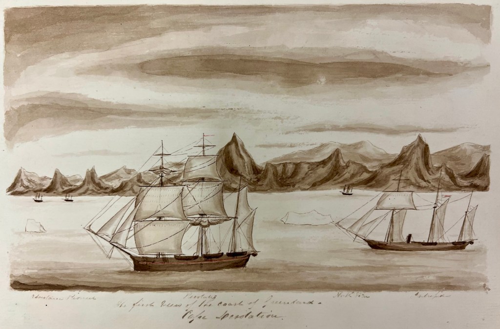
Thirty years after the 1741-42 Christopher Middleton Northwest Passage Expedition reached the high latitudes of Hudson’s Bay, the next major Admiralty polar exploration mission, the 1773 Constantine Phipps Expedition, saw two ships depart England towards a radically different destination: The North Pole.5 The mission benefitted from the patronage of King George the Third and had the enthusiastic support of the Royal Society (RS). Royal Navy Commander and RS member Constantine John Phipps was appointed to lead the expedition from Racehorse, while Skeffington Lutwidge continued his earlier command of the junior ship, Carcass. RS Vice President Daines Barrington hoped the crews would discover an open polar sea to lead towards the “South Sea” (Pacific Ocean).6 The rationale for this mission tied in to eighteenth century speculation about easily-navigable shortcuts to the Orient over the Pole, or through Northwest or Northeast Passages.7 In his published journal -an important source for this blog- Phipps tapped into this wellspring of speculative geography and summarized more than two centuries of exploration history to the Arctic regions, and the “North Passage.”8
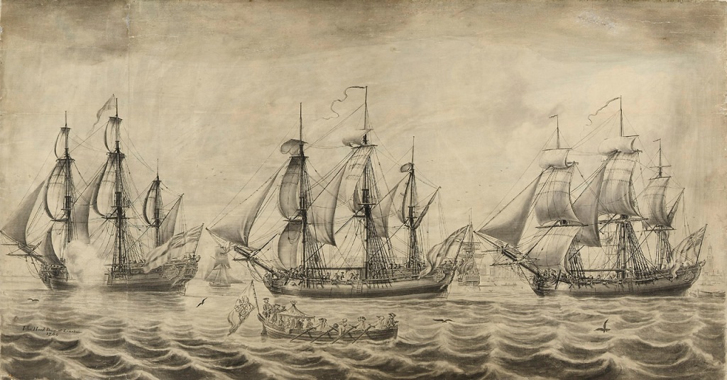
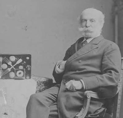
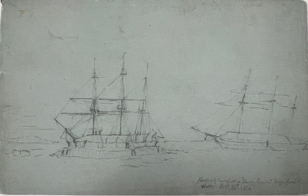
Admiralty officials had learned valuable lessons from previous discovery missions. The Earl of Sandwich, First Lord of the Admiralty, took a keen interest in the preparations. Peter Goodwin’s invaluable account of the Expedition includes a chapter of biographical information on the officers and crews.9 His research shows that the Phipps expedition personnel were a carefully selected group, led by exceptional officers, accompanied by civilians with wide-ranging scientific expertise. The “young gentlemen” – midshipmen on the journey – included Horatio Nelson and Philippe d’Auvergne. Nelson became the coxswain of one of Carcass’s boats, while d’Auvergne worked up a fine visual record of events of the expedition.10 The crews were of a higher professional standard than in 1741, when – in the midst of war – Middleton had had to resort to impressment to fill his manning requirements.11 One notable Able Seaman, whose skill led him to serve as one of the coxswains of the boats, was Nicholas Biddle. Biddle went on to become one of the early captains of the Continental (United States) Navy, serving with distinction. Like his fellow coxswain Nelson, he died at the height of a naval battle.12
The scientific establishment on the Expedition included the Ship’s Surgeon, Dr. Charles Irving. The ships were equipped with a desalination machine he had invented. Phipps, Irving and his assistant, Olaudah Equiano, worked diligently to ensure the machine produced a supply of potable water.13 . The board charged with questions of longitude selected Dr. Israel Lyons to proceed in Racehorse. Lyons excelled as both a mathematician and botanist.14 Phipps had also sought out the advice of naturalist Dr. Joseph Banks, who had furnished him with instructions about what types of natural specimens to collect.15
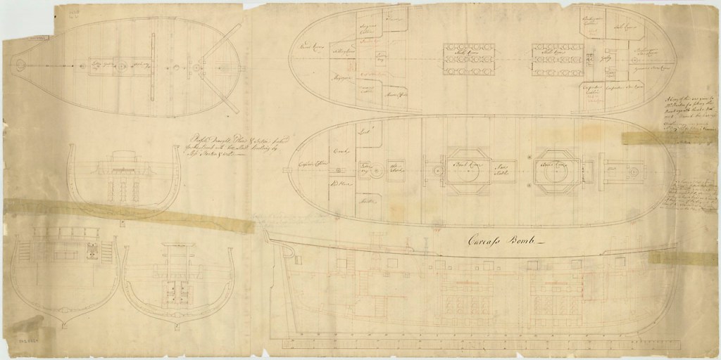
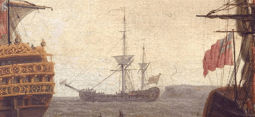
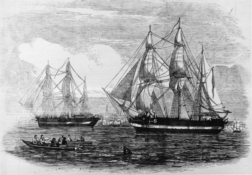
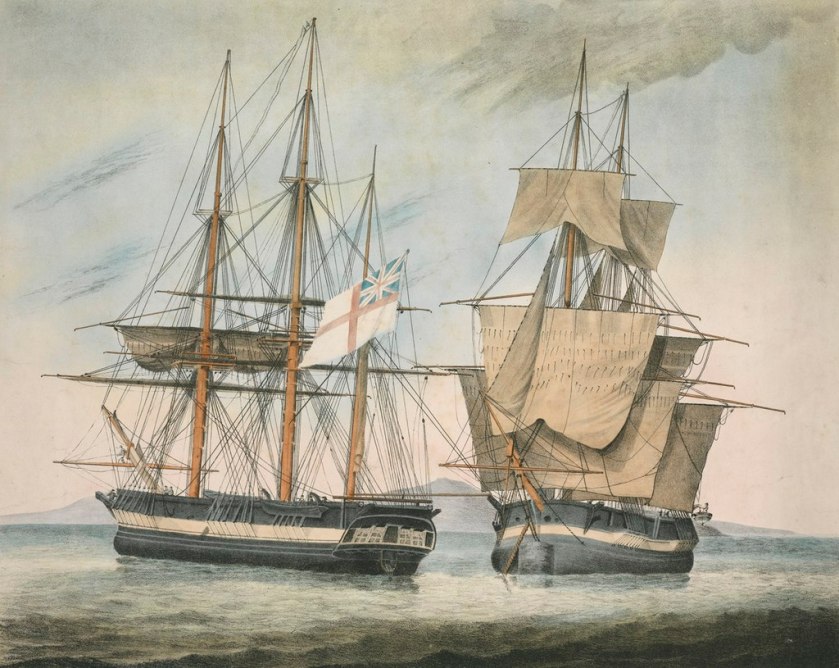
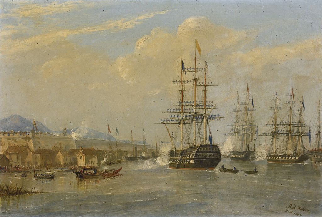
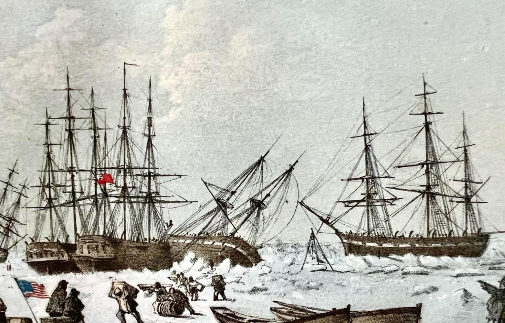
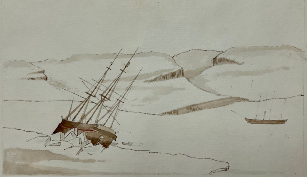
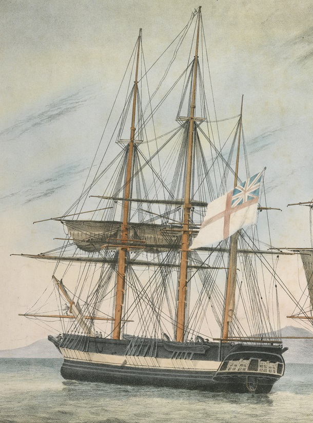
To mitigate the risk that the destruction of one ship would result in the loss of the entire expedition, two reinforced bomb vessels were prepared. The ships received significant modifications for northern service, in an incredibly short period of time in early 1773.16 The Admiralty’s original intention was to equip, crew, and provision the ships identically. Given that they did not share a common design origin, this appears to have left Carcass dangerously overloaded. In late May, Lutwidge was permitted to land six cannon and reduce his establishment of crew by ten members.17 Even so, the disparity between the hull types and rig meant that Racehorse lived up to her name, by surging far ahead of Carcass. The entries in Phipps’ journal and from other primary sources are remarkably similar to reports of Terror struggling to keep pace with Erebus on Sir James Clark Ross’s Antarctic Expedition of 1839-1843, and the reason is also similar: these ships did not have the same hull lines.18
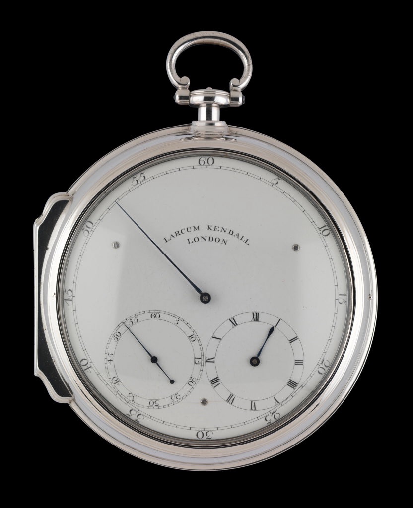
The expedition members were issued with proper cold weather gear (in contrast to the general sailing slops that had been allotted to Middleton’s personnel). Another first was the hiring on of a pair of Greenland pilots for each ship.19 These were experienced merchant ship’s masters, who had navigated “Greenlander” ships in northern waters.20 They would assist the officers and regular ships’ masters to help navigate local conditions in this unusual environment. Officers were equipped with a wide variety of updated navigational instruments and scientific devices. Like James Cook’s contemporary exploration of the Pacific, the ships carried updated timekeeping instruments, which employed John Harrison’s principles. These Larcum Kendall designs would allow for more accurate calculations of longitude than had previously been possible.
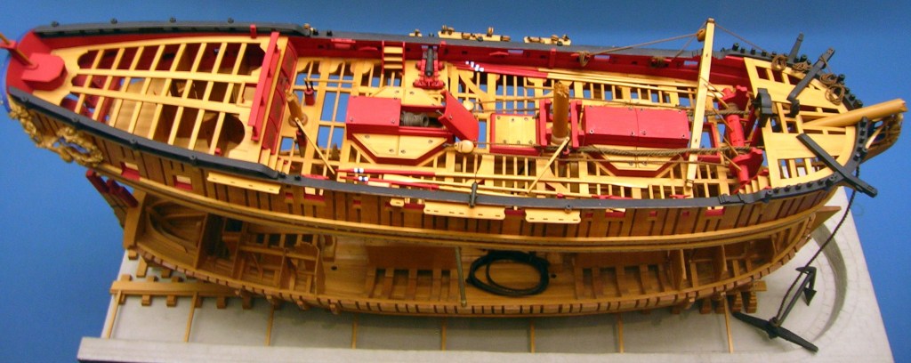
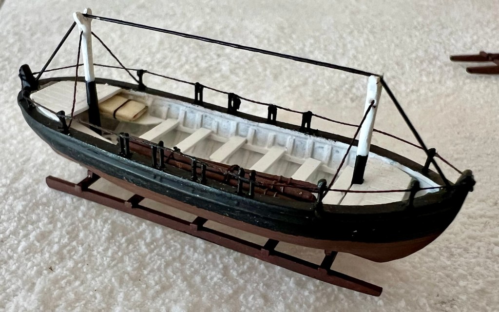
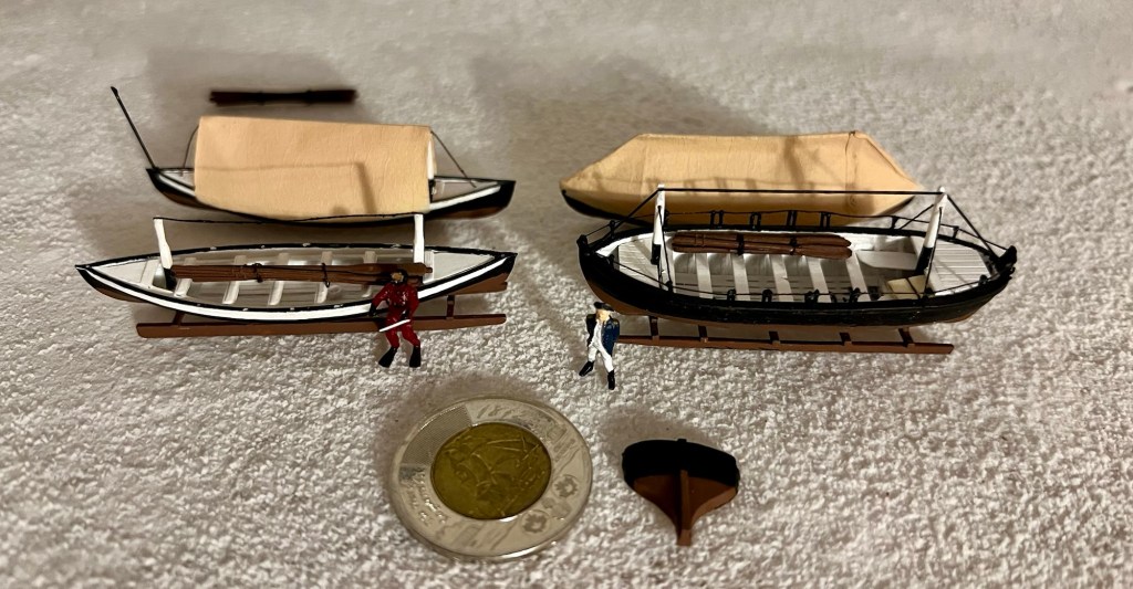
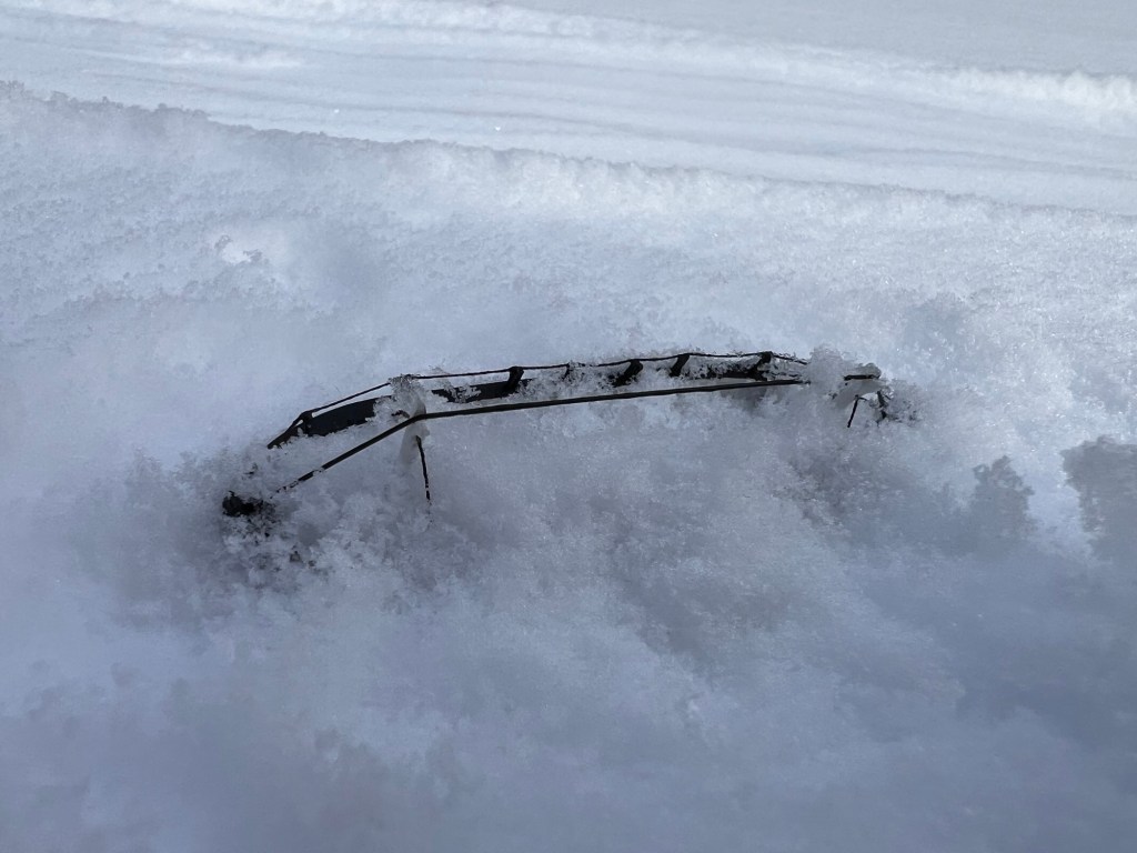
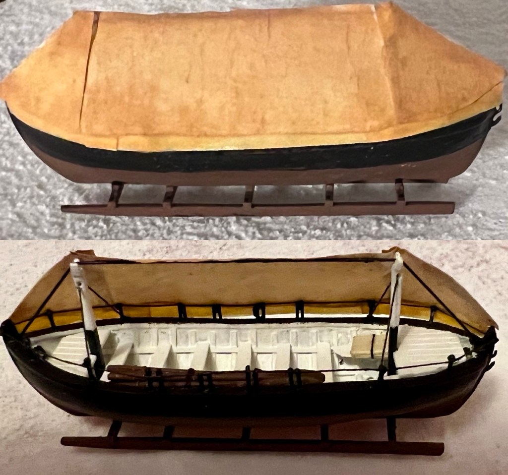
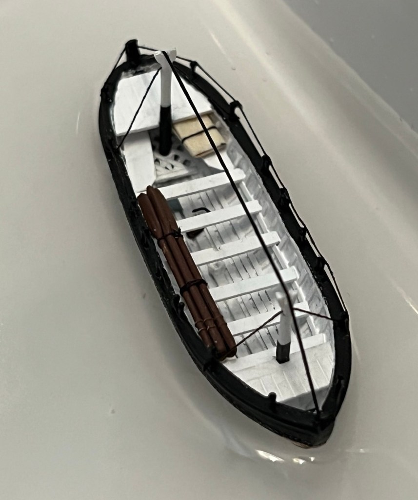
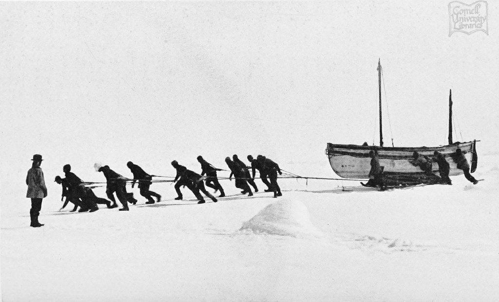
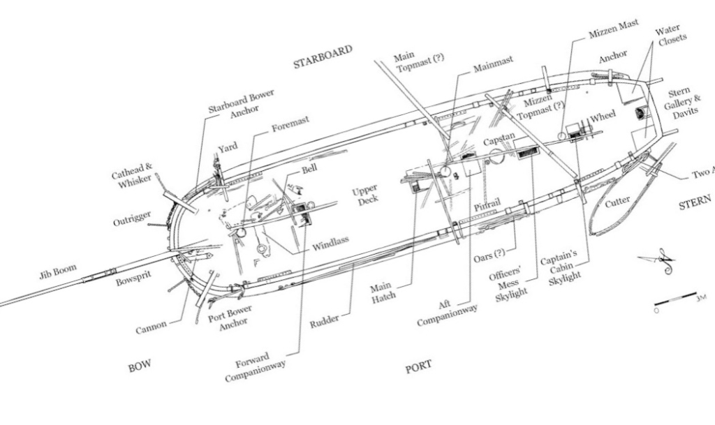
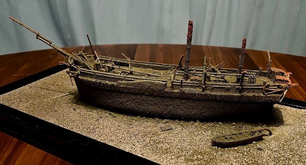
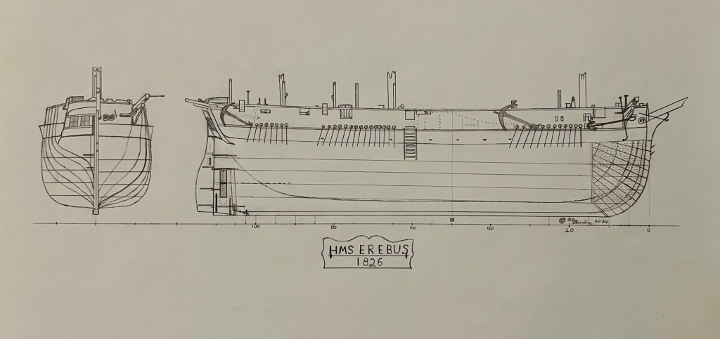
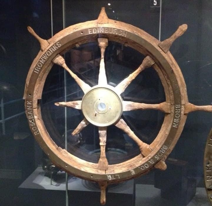
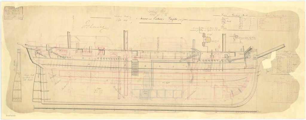
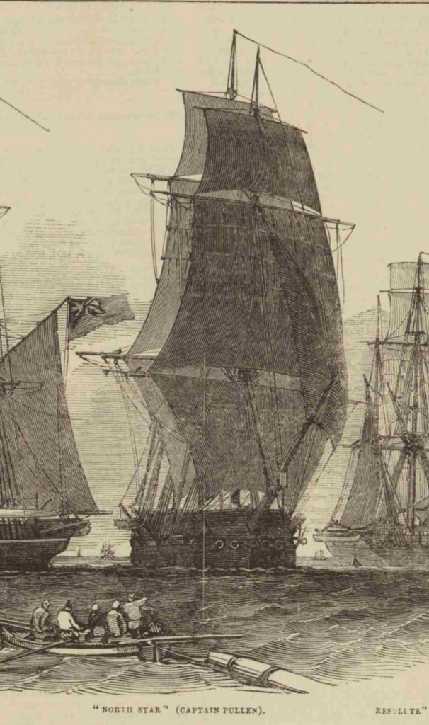
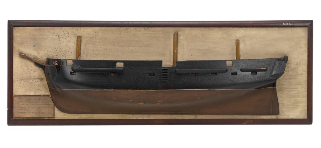
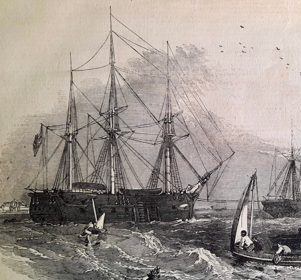
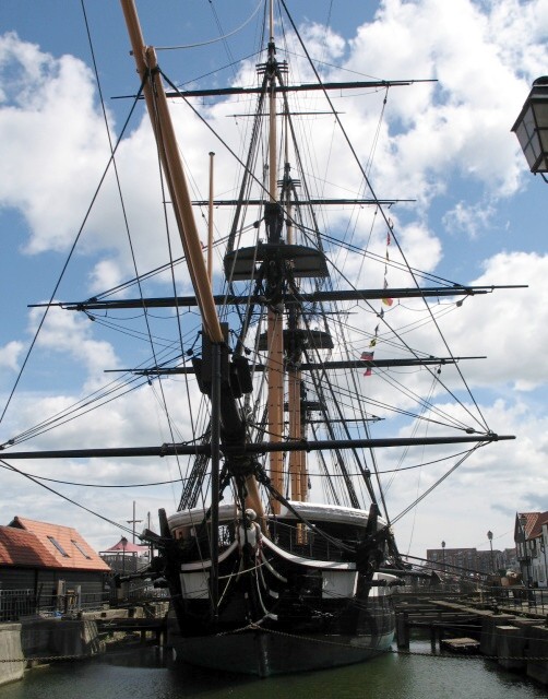
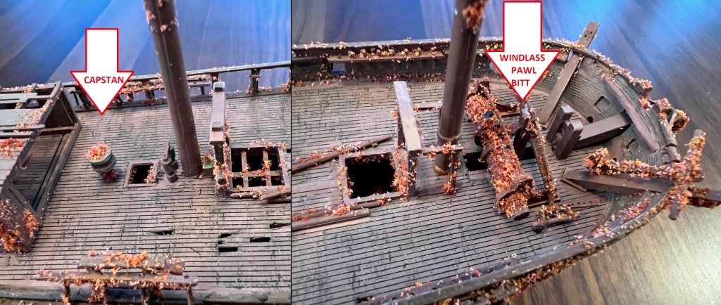
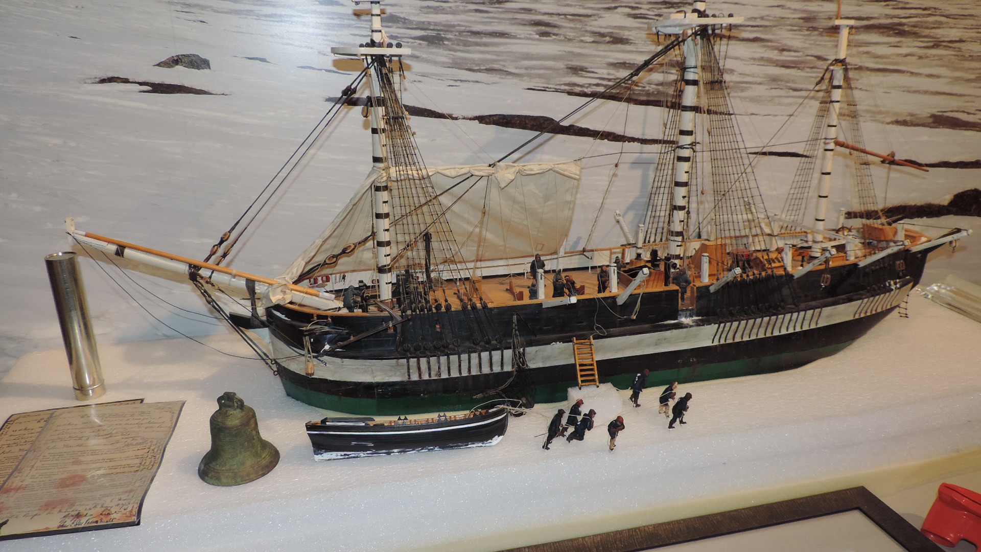
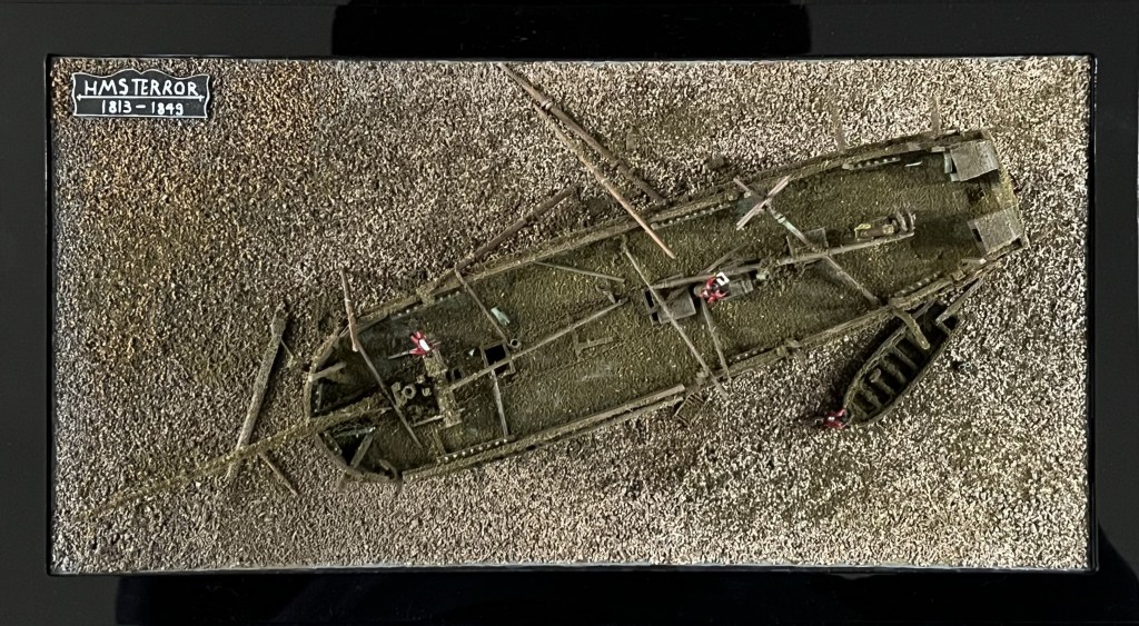
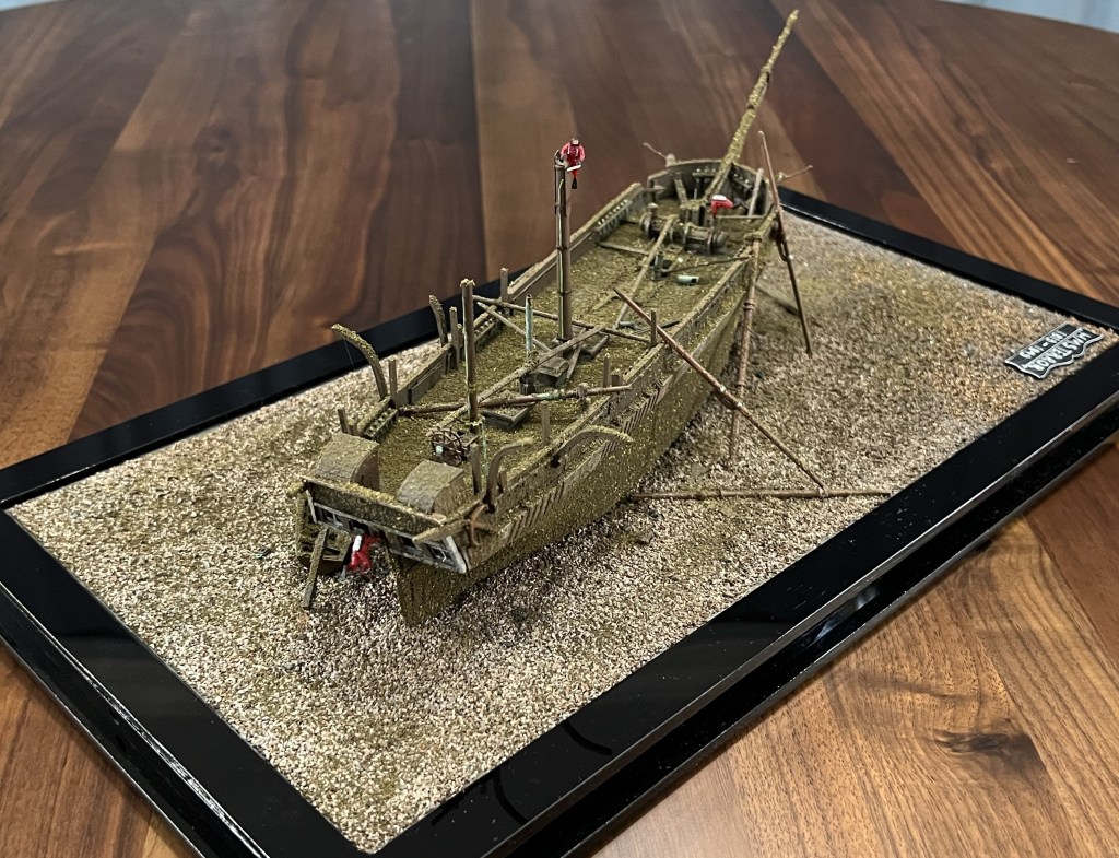
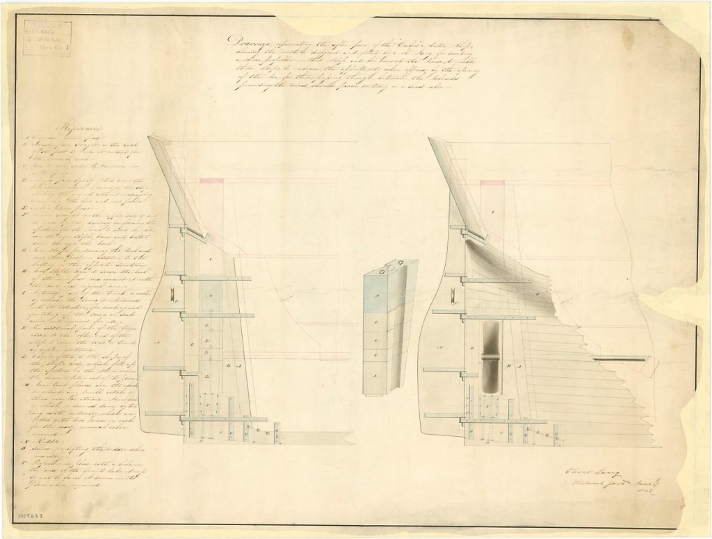
The Expedition vessels’ conversion for polar service have a basic similarity to the 1741 modification to HMS Furnace. The hulls were double-planked for strength. Vessels received capstans amidships, instead of the windlass in the bows.21 Smaller-sized vessels of the Royal Navy now were provided with (steering) wheels, unlike Furnace at the beginning of the 1741 journey. In contrast to later conversions, the gunports were not planked over. One important new modification was that the bows were reinforced internally with heavy buttressing timbers, to better withstand the force of collisions with ice or the strain of being beset in it. From surviving illustrations, the bow areas also appear to have received some external wooden sheathing, much like contemporary whaling ships. Both vessels received a varied complement of boats, intended to be able to accommodate the entire crew should their vessel be destroyed (we had mentioned the modification to the boats for over-ice hauling in a previous post). As events would show, this was a sensible precaution.
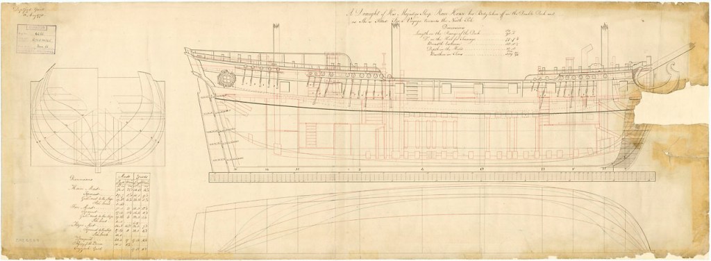
The open waist area of the ships was not enclosed (merging the quarterdeck and foc’sl deck into one unified weather deck). The Admiralty had partially decked in this space on Furnace, on Middleton’s advice. They should have repeated this modification.22 A unified weather deck protects ships’ stores and important equipment, and also enhances crew comforts in Arctic conditions. This would have greatly improved conditions on the journey home, when both vessels almost foundered in a series of terrible gales. Close interpretation of surviving artistic depictions also suggest that the channels (where the masts’ shrouds attach to the hull) were not fortified or chocked (filled-in) as they had been in Furnace, leaving these projecting channels vulnerable to ice damage.23
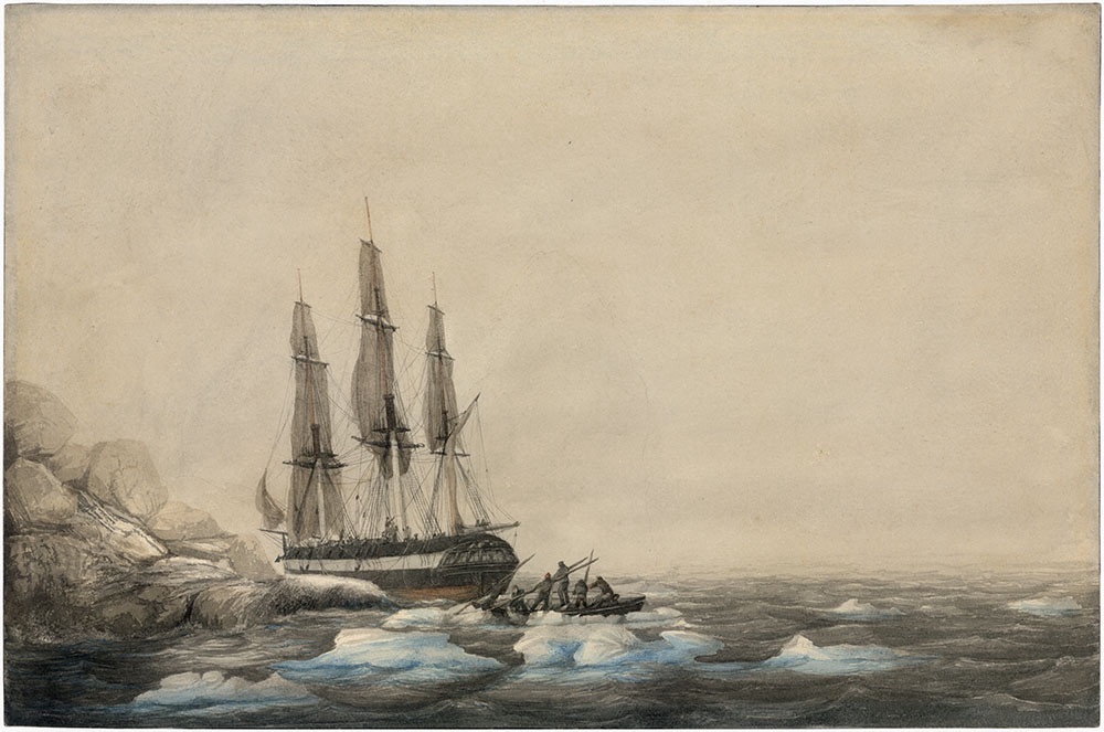
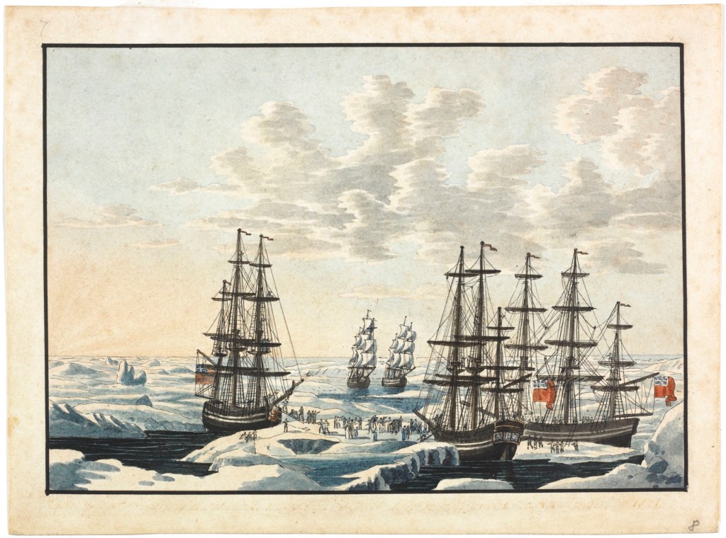
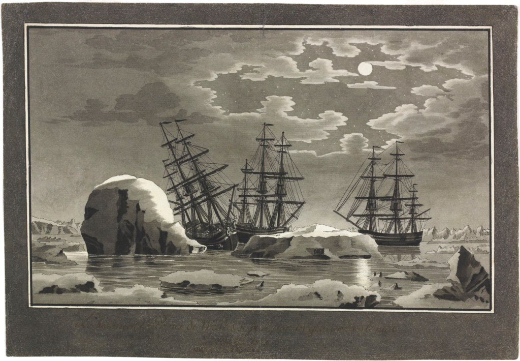
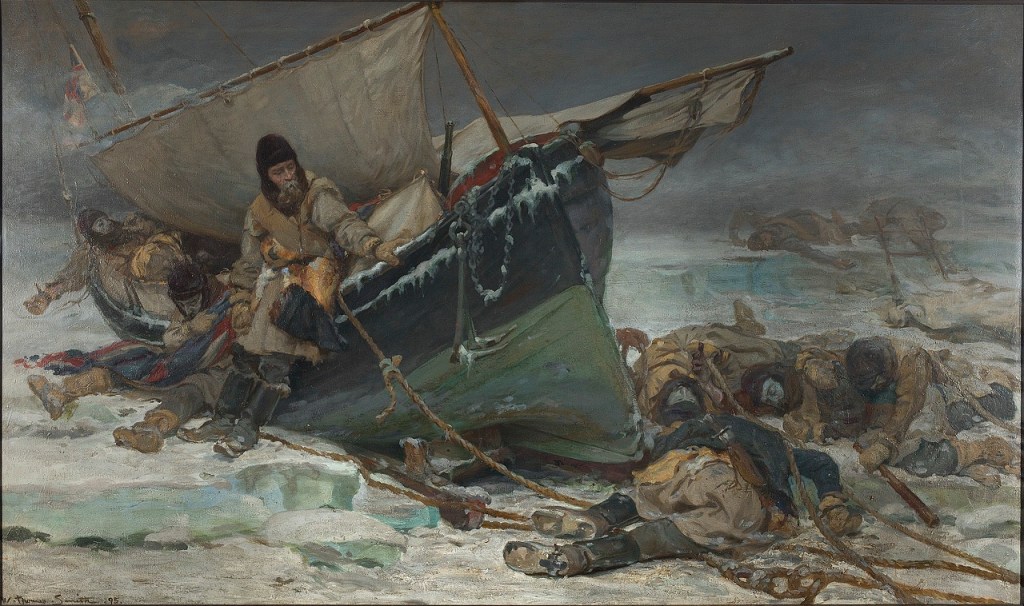
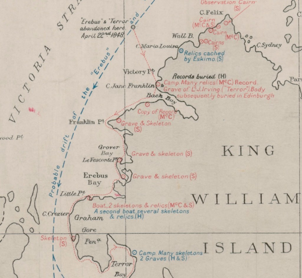
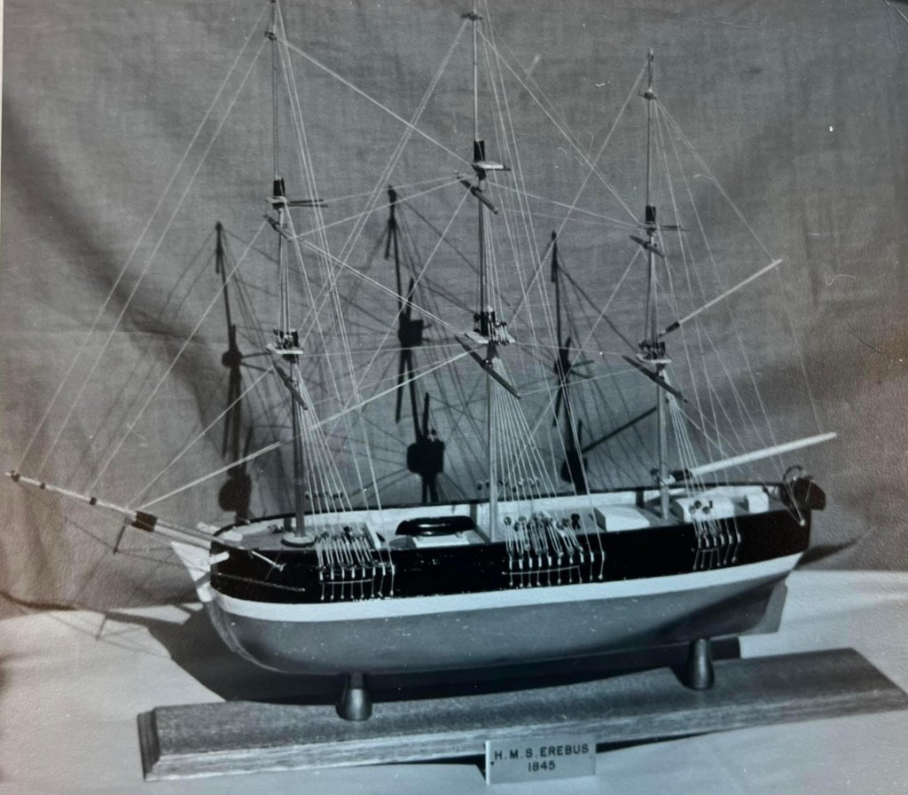
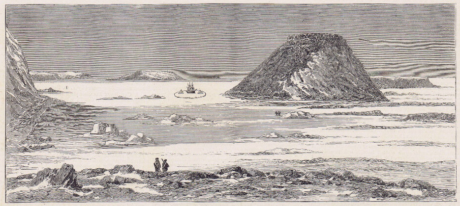
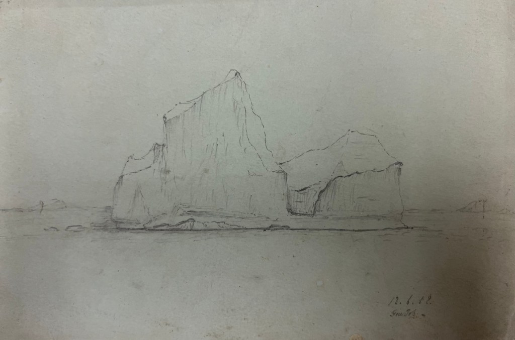
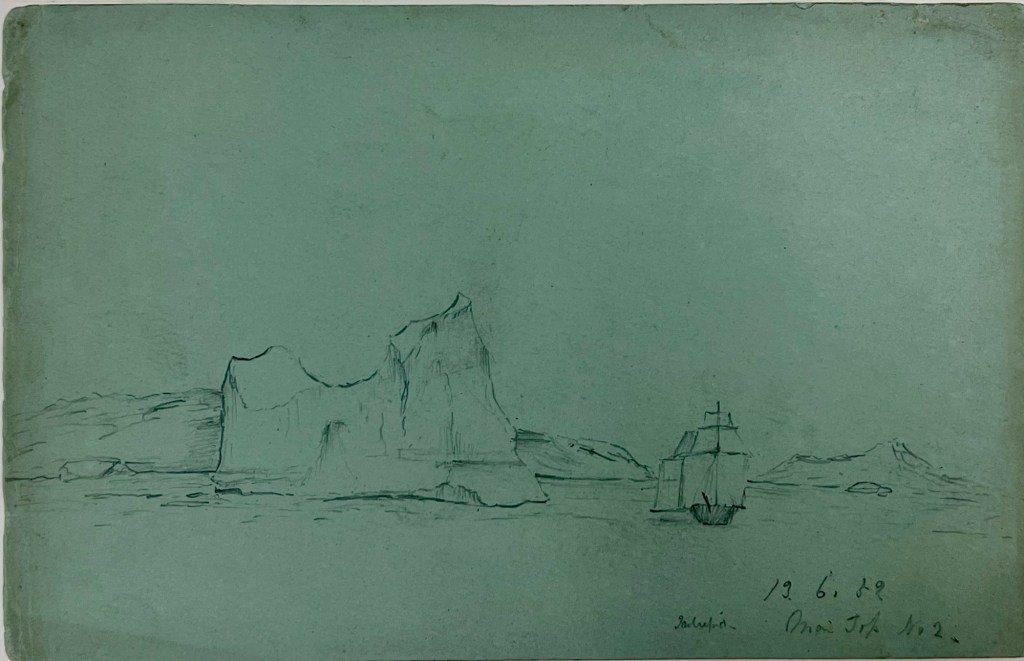
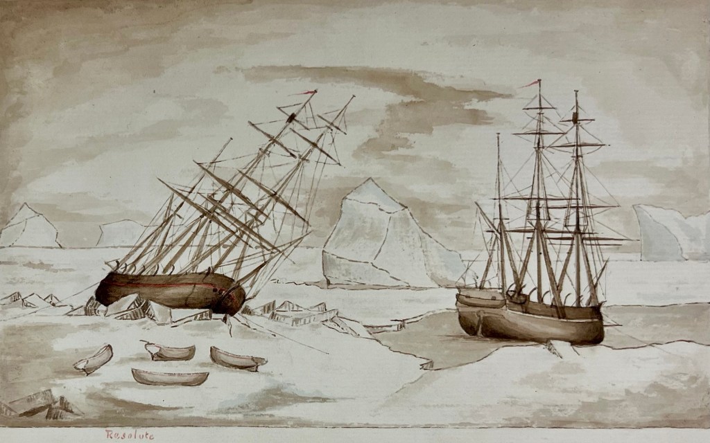
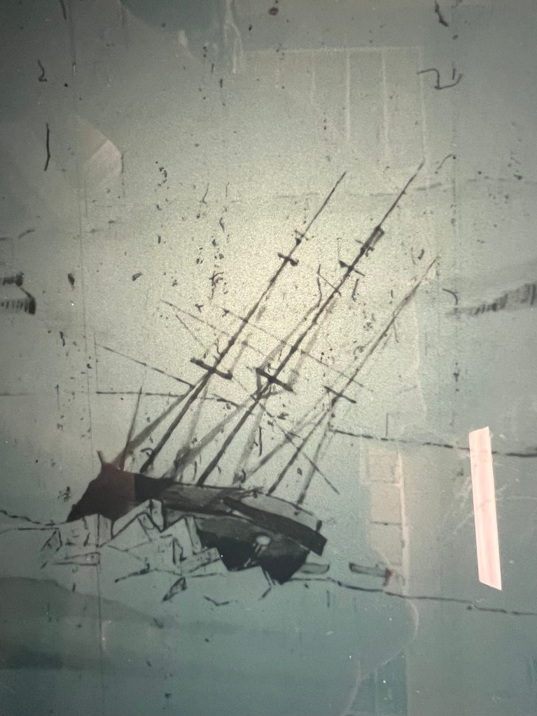
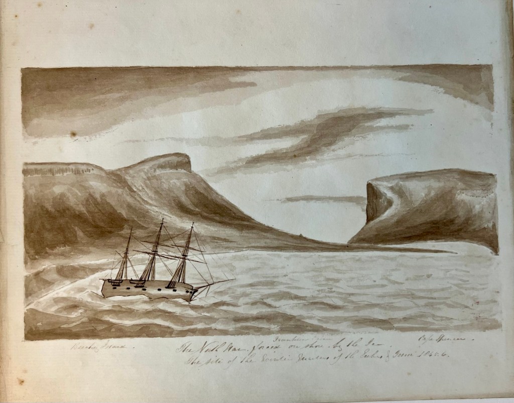
The northwards-bound vessels encountered ice starting on July 7th.24 The expedition charted the islands of the Svalbard Archipelago, and recorded various observations (astronomical, magnetic, depth sounding) as they went. No easy path towards – much less over – the Pole was discovered. The officers and scientists described what flora and fauna they encountered on the islands, and marine life they could dredge up from the depths. Phipps’ journal records the first scientifically-based descriptions of polar bears, which were shot and brought aboard for study. The expedition reached its highest northern latitude of 80°48′ on July 27th. The vessels and crew were severely tested in early August, when the ships could find no more open water leads to advance to the northwards, and were beset in thickening ice. This experience – while mercifully brief – was terrifying. It is one of the most relevant polar precedents for when Sir John Franklin’s crews of HMS Erebus and Terror had to abandon their iced-in vessels in late April, 1848.
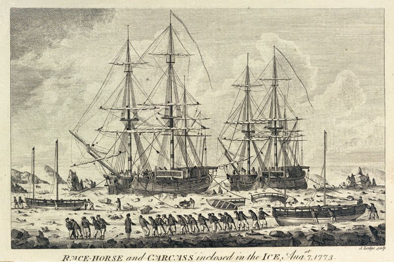
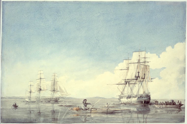
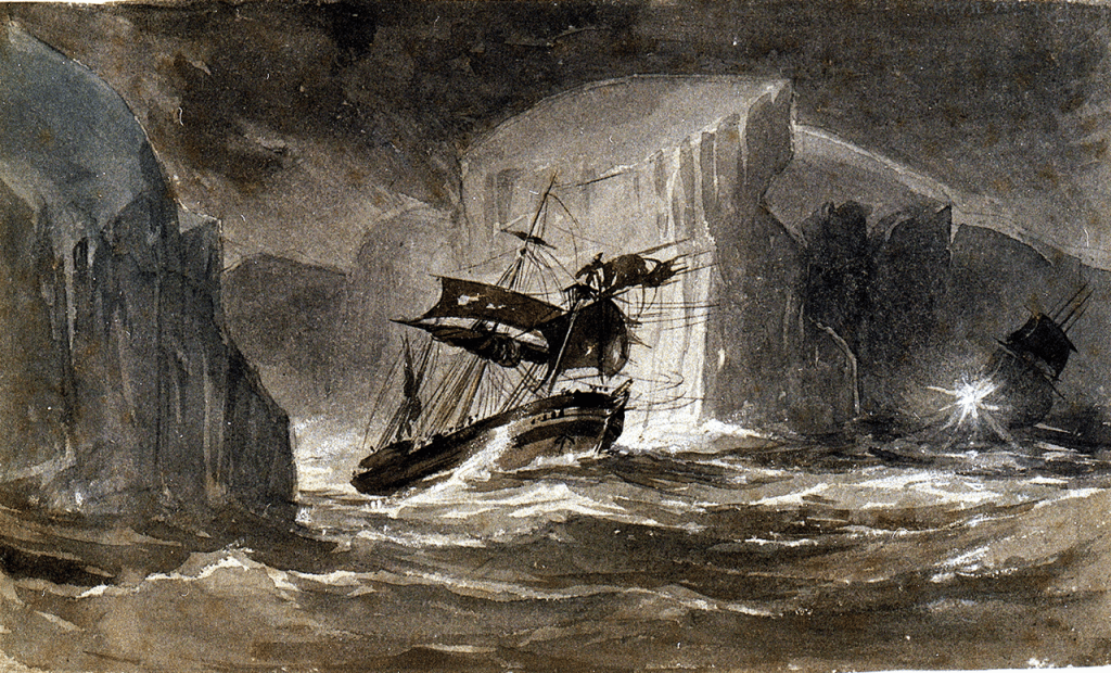
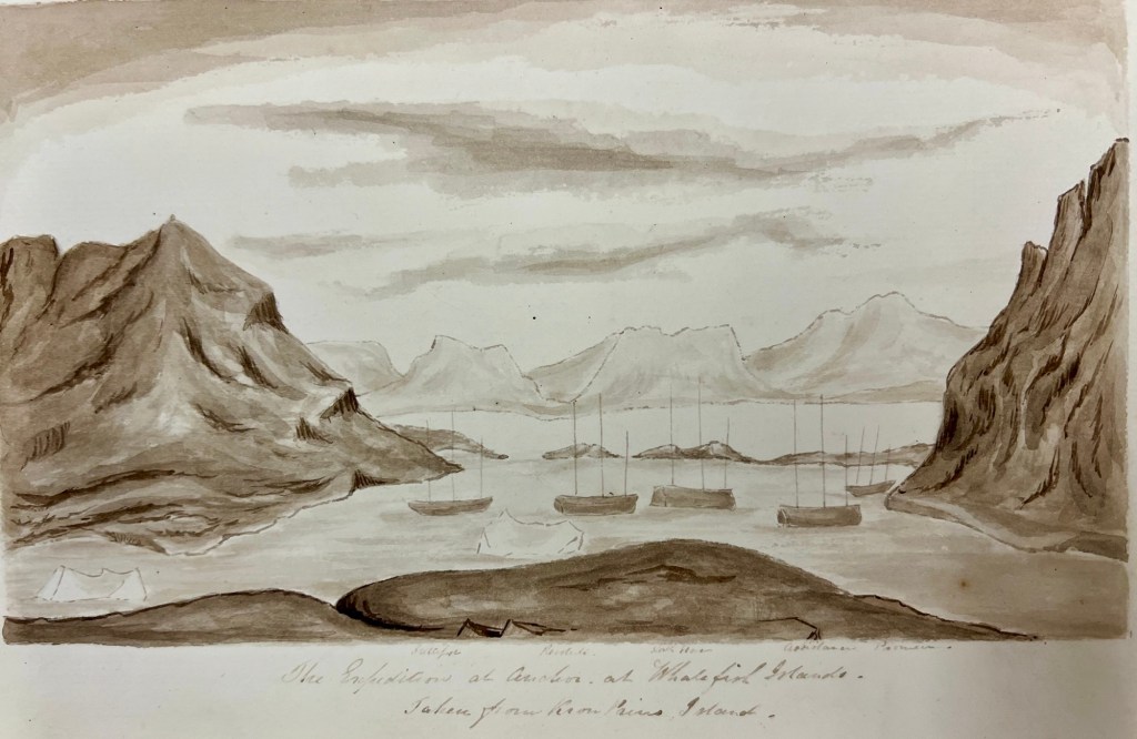
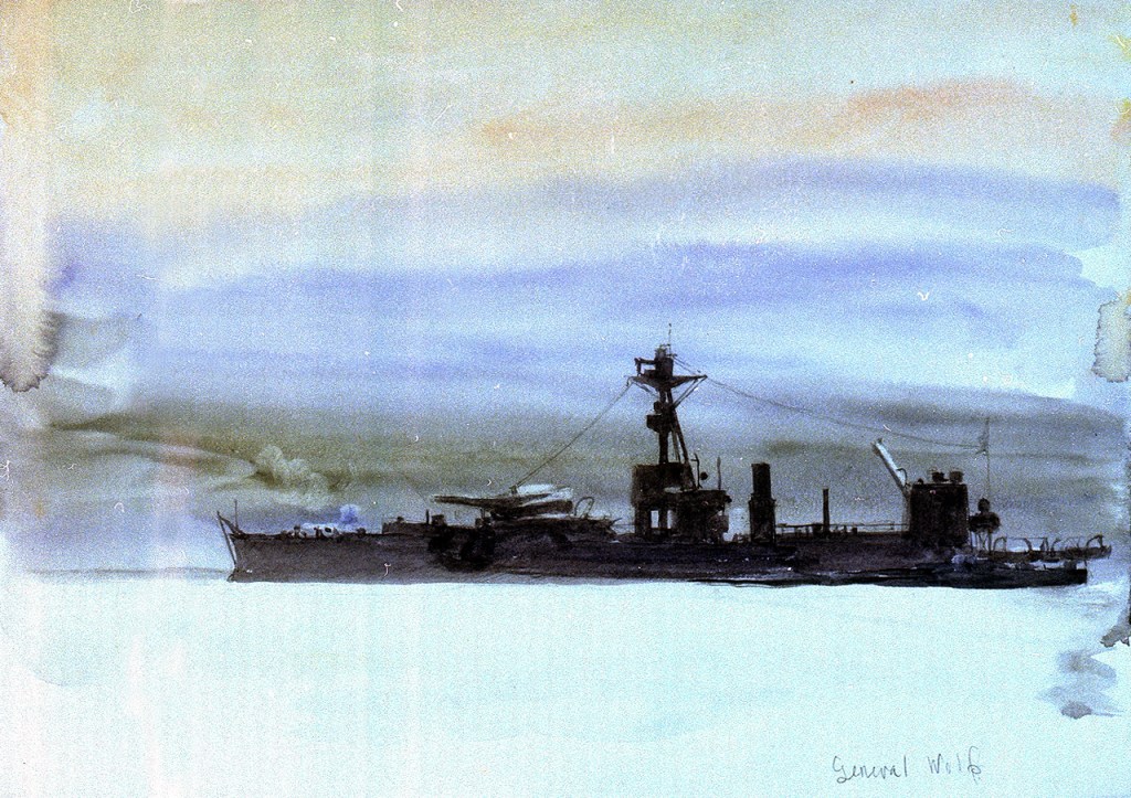
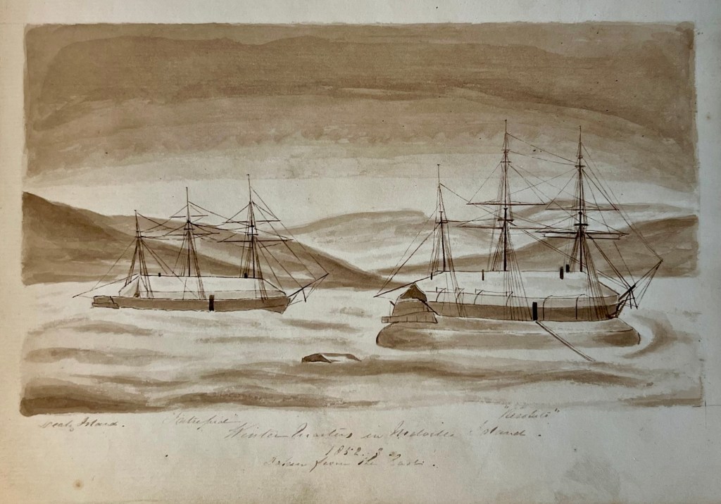
On August 6th – with the ships trapped – Phipps took stock of his remaining provisions, and estimated that the health of the crews would decline rapidly if they were forced to overwinter out on the ice in this unprepared spot. The carpenters were instructed to modify the boats in order to have crew haul them across the ice in an effort to try to reach open water. They would then put to sea to locate Dutch whaling ships that were known to be anchored nearby at Smeerenburg, an abandoned settlement on Amsterdam Island. The next day, with the water shoaling, and the ice carrying the ships inexorably towards some rocks to the northwest, Phipps left Racehorse to lead a crew hauling the launch (the largest size of boat brought along) westwards over the ice. Crew also remained on the ships, which made slow progress westwards behind the boats. All parties remained in contact. As the crew hauled the boats along the broken, treacherous ice, favourable winds sprung up and the ships started to advance. Soon the exhausted crews returned onboard and the boats were swung back on deck. By the 10th the ships had driven through the remaining ice (with what sounds like some actual precedent-setting icebreaking), and were able to safely anchor at Smeerenburg (where there were indeed Dutch ships preparing to depart for the year). A mobile observatory was installed ashore. The officers described a nearby glacier, while Philippe D’Auvergne worked up another of his well-executed sketches of the scene.25 When the ships raised anchor, a few other attempts to make more northing came to nothing, as the season advanced and the ships came across a wall of ice. Phipps decided to turn for home on August 22nd.
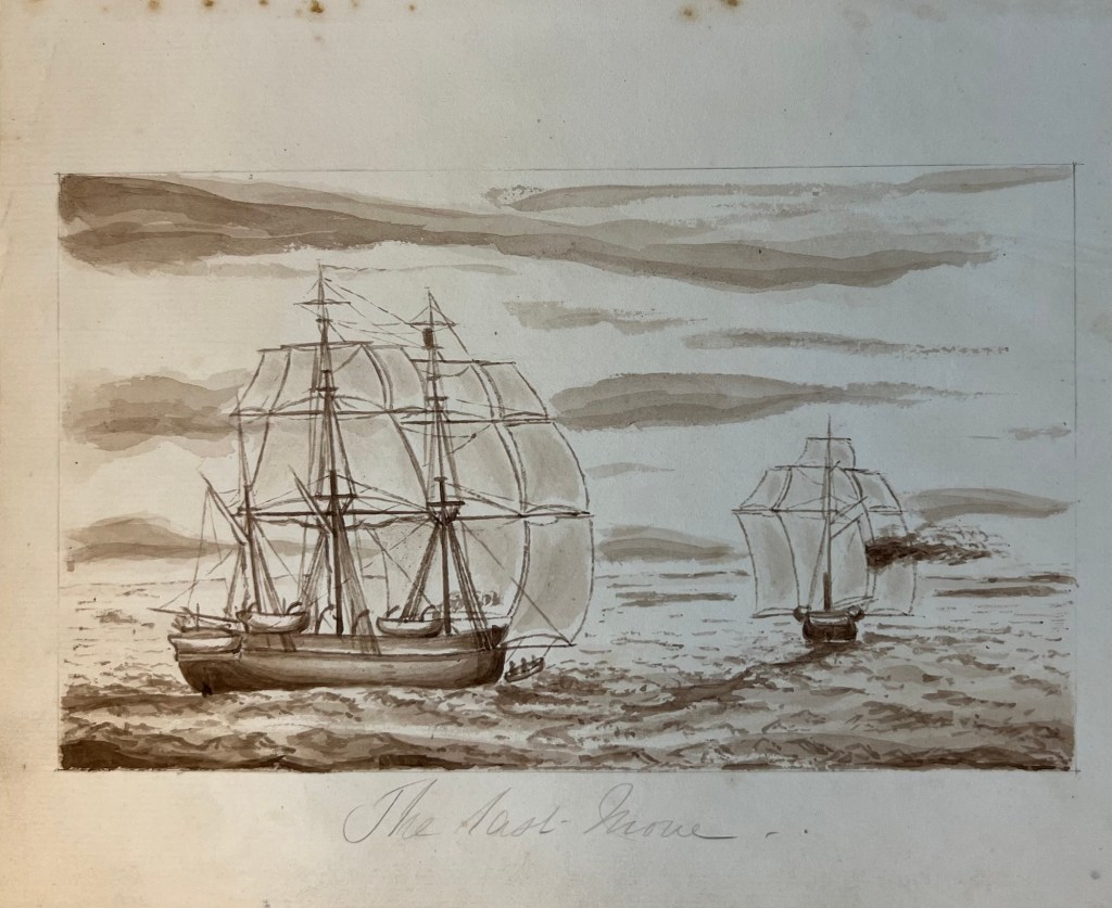
In common with other polar expedition accounts, the voyage home was horrendous. By the second week of September, both crews were fighting for their lives in a series of terrible storms. The ships were both damaged in the gales that started the second week of September, and lost sight of each other. Each crew believed the other ship had likely foundered. The open waist area of the ships became a liability at this point.26 The vessels sighted each other again on the 25th of September off the coast of Suffolk.
In the years after Phipps and his crews returned, the Admiralty had to shelve further plans for Arctic discovery missions as it found itself embroiled in a series of wars that expanded to include the majority of the World’s oceans. It took until the final defeat of Emperor Napoleon Buonaparte, in 1815, for the polar exploration program to be revived (with Second Secretary of the Admiralty, John Barrow, taking a leading role). In contrast to the divisive legacy of the Middleton Expedition, Constantine Phipps’ Expedition was remembered in favourable terms. The modification of Racehorse and Carcass set many precedents for the next two bomb vessels to go north to the Arctic: Hecla and then Fury. Please consult the “Design Dossier” below for more technical information about Racehorse and Carcass.
Click for HM Ships Racehorse and Carcass Design Dossier and Endnotes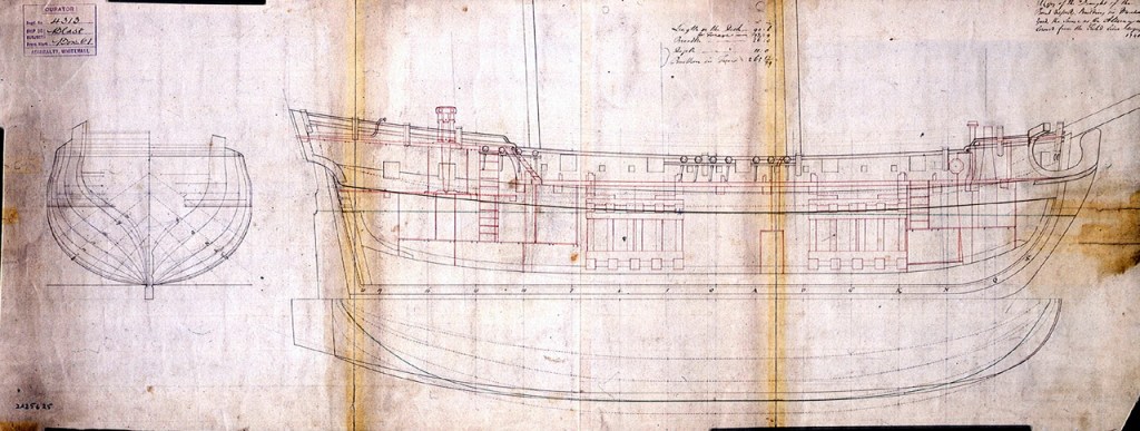


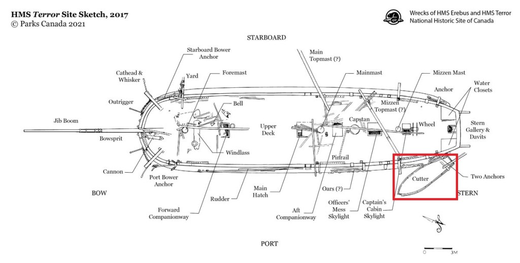
 This small feature can be readily seen under the stern windows of Parry’s ships in the illustration of Hecla and Fury at top. Terror and her two Vesuvius class sisters (RMG


